Journey to Beaufort
Beaufort scale 1. a scale of wind forces, described by name and range of velocity... 2. a scale of the states of sea created by winds of these various forces... [1855–60; named after Sir Francis Beaufort (1774–1857)]" --Random House Unabridged Dictionary
Last Thursday we flew to Beaufort Island, which lies about 100 km to the north of McMurdo station. We needed to search for banded penguins and had to go while we could still fly there - the sea ice around Beaufort is rapidly thinning and, since our helicopters cannot fly over open water, we had to take the opportunity while we could.

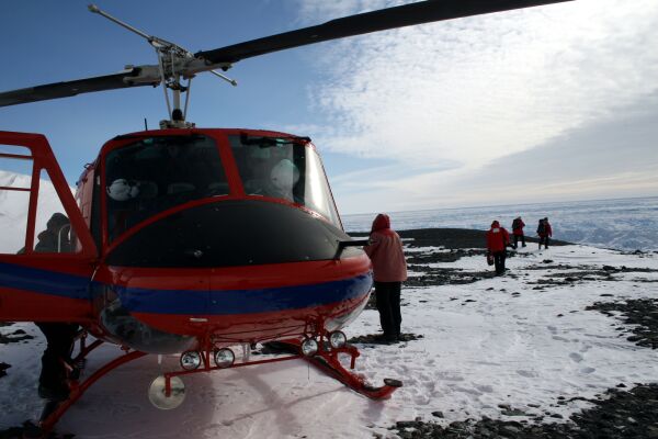
Katie, Dave, Ian, and Grant waiting at the helo (helicopter) hangar

A helo tech attaching a sling load to another helicopter (note the Royal Society Range along the horizon)
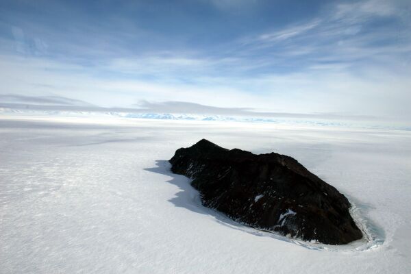
Inaccessible Island frozen in the fast ice (ice that is attached to the shore)

A lone tabular iceberg frozen in space
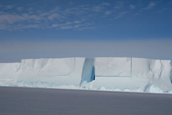
The geometry of an iceberg
Icebergs are incredibly evocative in their myriad shapes and hues of white and blue.

The ice cap over Mt. Bird
The "claw" marks are heavily crevassed areas that form over bumps and knolls in the underlying rock as the sheet of ice flows over them. Some of those crevasses are large enough to swallow a helicopter or two.

Approaching Beaufort Island, still surrounded by ice
The tabular icebergs have been frozen in place since last year. This will all be open water by mid-December. We'll get to stare at Beaufort Island from Cape Crozier for the next 2.5 months, but we may not have another opportunity to fly there.
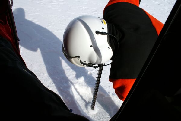
Mark testing the ice thickness
We landed briefly a few hundred meters from the island to test the ice thickness. Mark, the helo tech, drilled a hole in the ice while the pilot kept the helicopter running - after 24 inches water gushed out of the drill hole. The ice was too thin for us to land safely (we needed at least 30 inches), so we moved on.
Over ancient bones
We couldn't find a place with ice thick enough to land near the main colony so we ended up on the other side of Beaufort Island, where there is a second, very small Adelie Penguin colony. We landed on a wide, rocky terrace that used to be occupied by Adelie Penguins up until about 30,000 years ago; its entire surface is covered with penguin bones. Our friend and colleague Steve Emslie, who studies fossil penguins, dated this colony by digging through the ancient guano and using the penguin remains that still abound.
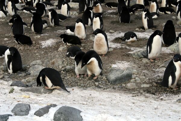
Living penguins!
Our first penguins this season, yay! The front pair were flirting heavily and, in proper Adelie territorial manner, staring down all passers-by, such as the poor lone penguin collecting pebbles at the edge of the snow. They are probably going to lay eggs any day.
David Ainley, our fearless leader.

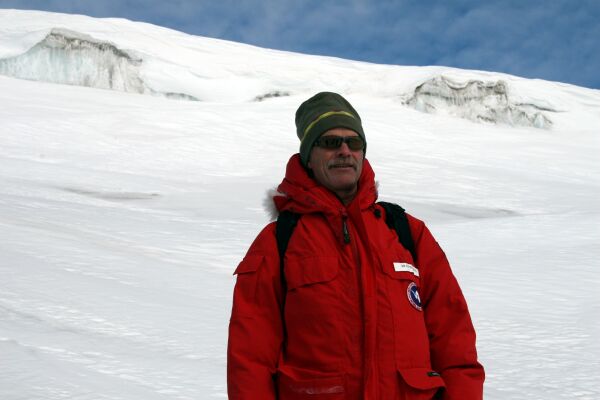
Dave again, looking a little less fearless...
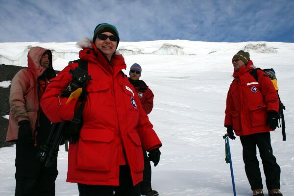
Katie Dugger, fearless statistician and fellow penguinologist, with Barry (the pilot), Mark, and David.
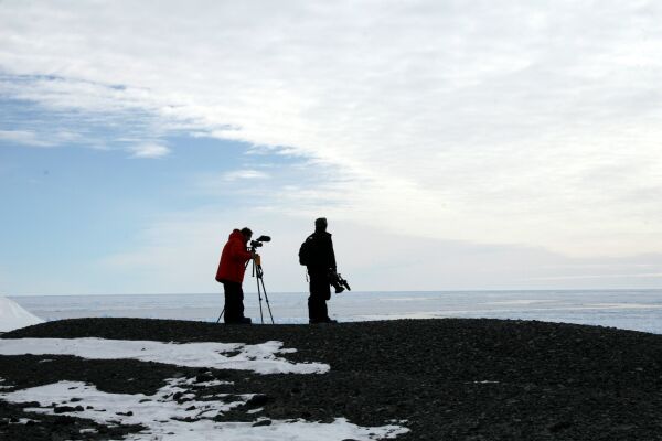
Grant and Ian taking in a view of the ice-covered Ross Sea.
posted by Viola @ 5:49 PM
1 comments
![]()
![]()

1 Comments:
love the three photos of frozen island, tabular iceberg and geometry of an iceberg. in trying to imagine the scale of it all, I’m boggled.
Post a Comment
<< Home